One major goal of our recent expedition across the Great Sea of Sand was to visit the area where the mysterious Silica Glass rocks are found. Below is an attempt to unravel the current knowledge about this material. This is work in progress. As we discover more about the material we will update this blog.
The book
Désert Libyque reports that the first known mention of Silica Glass in the Libyan desert was made by envoys of Hagg Hussein of Kufra in 1846 (Vivian, 2002). It was reported two years later to the European world by Fresnel, the French consul, in the
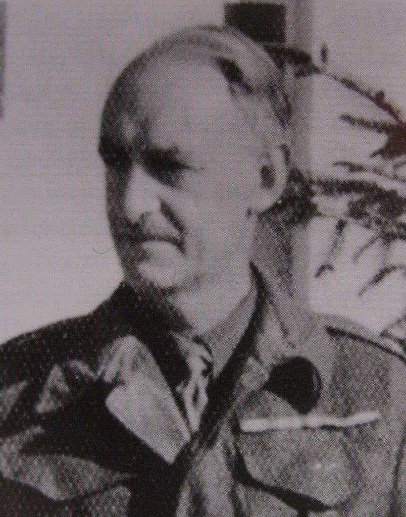
Bulletin de l'Institut de Géographie de Paris (Vivian, 2002). It was also known by Prof Karl Zittel of the Gerhard Rohlfs (1831-1896) expedition of 1874 and by Ludwig Borchardt, who wrote about it in 1929 (Vivian, 2002). However, knowledge about this geological phenomenon really starts when Patrick Clayton (1896-1962), a British surveyor for the Egyptian Geological Survey, announced his discovery in December 1932 (Kelly, 2002).
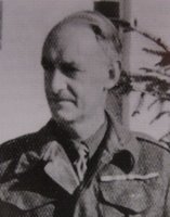
Pat Clayton (Kelly, 2002)
He claimed to be the first white man to cross the Great Sand Sea from ‘Ain Dalla to the Libyan border, and he built the 5 feet high landmark "Big Cairn" to commemorate it. From Big Cairn, Clayton turned east and then south to the northern end of the Gilf Kebir.
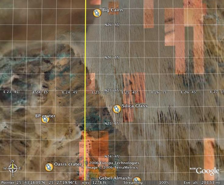
 Google Earth satelite image of the Great Sand Sea
(yellow line is the Egyptian-Libyan border; the field with white north-south lineaments on the right is the Great Sand Sea; the dark patch at the bottom near the border is the northern Gilf Kebir)
As he was driving for 95 miles among the dunes of the Great Sand Sea, he heard his tyres crunch on something that wasn't sand. It turned out to be large pieces of marvellously clear, yellow-green Silica Glass scattered on the gravel streets between the dunes (Kelly, 2002). In fact, this wasn't just any ordinary glass, but ultra-pure glass that was an astonishing 98% silica.
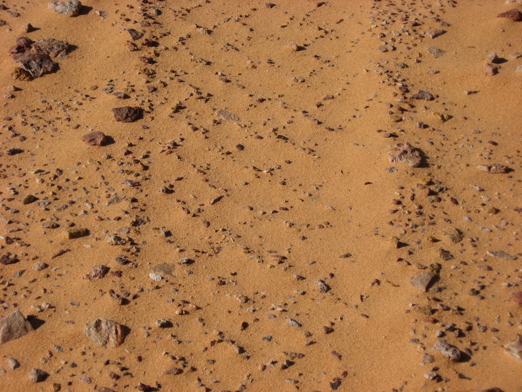
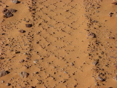 Old tyre track from the time of Clayton and Almasy © Jurriaan & Corine
In 1934, the Geological Society of Egypt launched an expedition to bring L.J. Spencer, minerals expert of the British Museum, to the site (Vivian, 2002). They collected and analysed the glass for nine days, and believed it to exist in a limited area of 130 km north-south by 53 km east-west (Vivian, 2002). Later it was found that Silica Glass is concentrated in two areas, rather than one. One area is oval-shaped; the other is a circular ring, 6 km wide and 21 km in diameter. The ring's wide centre is devoid of the glass.
An article by Giles Wright in the British science magazine New Scientist (July 10, 1999), entitled "The Riddle of the Sands", says that Silica Glass a.k.a. Libyan Desert Glass is the purest natural Silica Glass ever found. Over a thousand tonnes of it are strewn across hundreds of kilometres of bleak desert. Some of the chunks weigh 26 kilograms, but most Silica Glass exists in smaller, angular pieces.
In our journey we crossed the Great Sand Sea as well from east to west, but much further south than Clayton did. We went directly east to Gebel Almasy, a prominent plateau named by the Hungarian explorer count Ladislaus Almasy (1895-1951). From Gebel Almasy we crossed the last dune rows westward to reach the northern Gilf. From here, we went north along the dune corridors in opposite direction of Clayton’s 1932 journey.
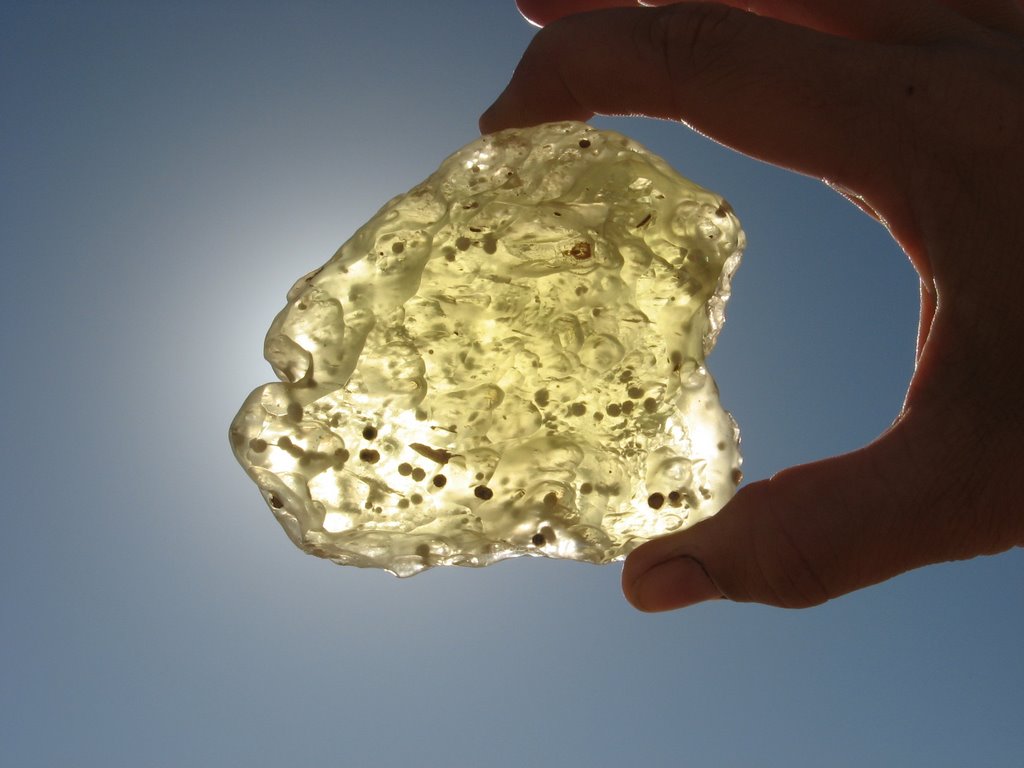
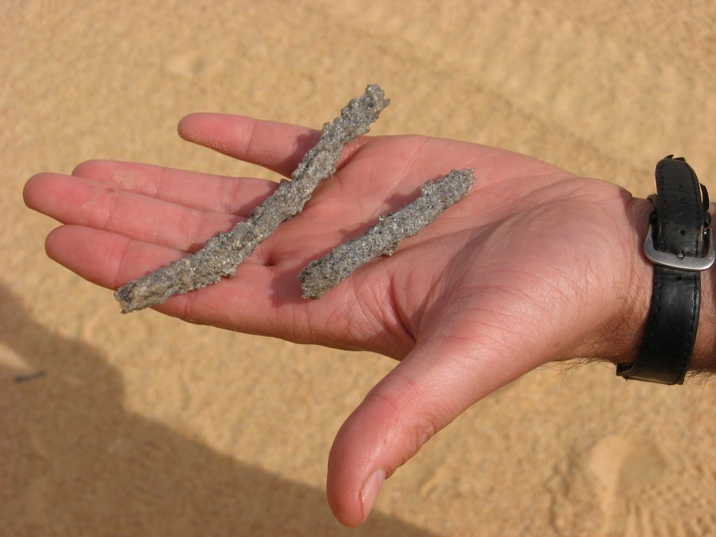
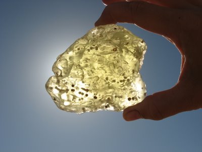 Corine holds a piece of Silica Glass with inclusions against the sun light © Jurriaan & Corine
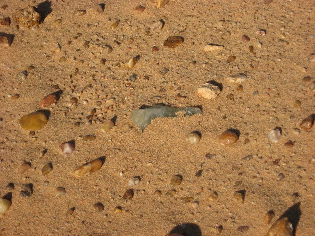
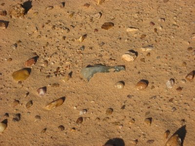 Silica Glass in-situ on the desert floor © Jurriaan & Corine
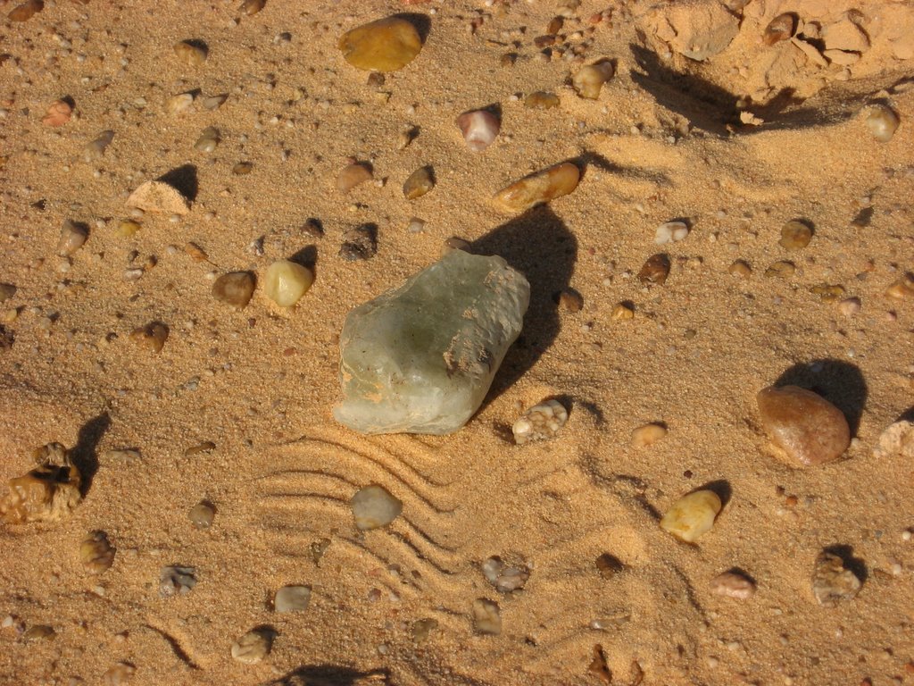
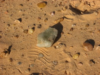 The same piece uncovered © Jurriaan & Corine
Scientific speculation continues to this day as to the origin of this material. An extraterrestrial meteorite impact that fused the sand is a common theory. Sand metamorphoses (i.e. alters) similarly to pale green glass following nuclear explosion (Scott, 2004). However, there is no evidence for a meteorite impact crater rim at the location. One speculation was that it could have been formed by the close passage of the tail of a comet that did not hit the earth (Kelly, 2002). Another hypothesis was that it is of volcanic origin (Vivian, 2002). In the 1980s Ulrich Jux proposed the theory of an anchient lake, super-saturated with silica that left silica depostits in the dried-up cracks of the lake bed, which form glass through a complicated chemical reaction (Vivian, 2002). The absence of a crater as well as the presence of partially fused glass fragments and organic matter in some samples supports this theory (Scott, 2004). There is a general tendency, however, to consider Silica Glass as an impactite, meaning that it was formed by sudden melting and rapid cooling of terrestrial rocks as a result of the impact of large cosmic bodies (Abed, 1998). The best proof for the meteorite hypothesis came when a Egyptian-Italian expedition found fragments of iron and stone meteorites and some fine grains of coesite and stishovite (i.e. meteoric materials) in 1993 (Abed, 1998). More recently, fractured sand pebbled and grains as well as weathered fragments of octahedritic and chondritic meteorites were identified in the area (Abed 1998). Scientist agree that the age of the formation of silica glass is in the Oligocene, more precisely at ± 29 million years old (Bigazzi and de Michele 1997 and Horn et al 1997)
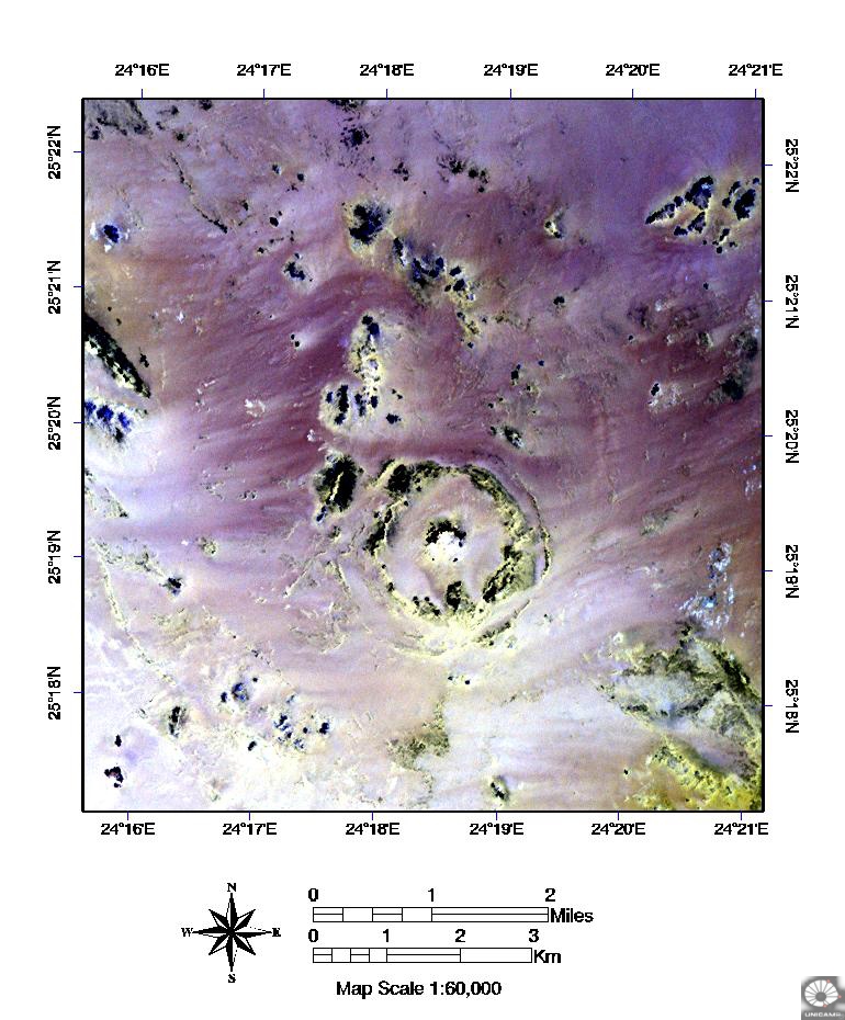
Absence of craters?In December 1971, an expedition went to the Gilf Kebir to see if some of the craters there also contained Silica Glass (Vivian, 2002). They did confirm that some of these craters where formed by the impact of extraterrestrial bodies, but they found no Silica Glass (Vivian, 2002). There was a suggestion by Abate et al. (1997ab, 1999) that the Silica Glass in Egypt could be related to the BP and Oasis impact craters in Libya. The BP Structure is located on N 25° 19', E 24° 20'. It is 2 km in diameter and less than 120 million years old. (http://www.unb.ca/passc/ImpactDatabase).
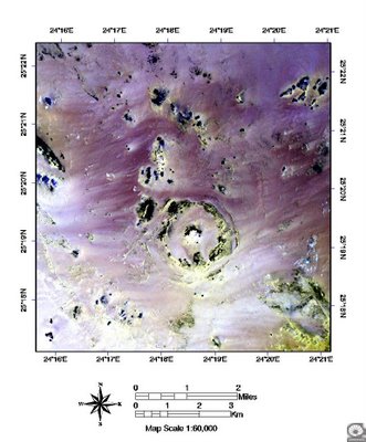 LANDSAT TM image of the BP crater (http://www.unb.ca/passc/ImpactDatabase)
The Oasis Structure is located on N 24° 35', E 24° 24'. It is 18 km in diameter and also less than 120 million years old (http://www.unb.ca/passc/ImpactDatabase).
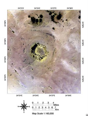 LANDSAT TM image of the Oasis crater (http://www.unb.ca/passc/ImpactDatabase)
Schaaf and Mueller Sohnius (2002) performed isotope analysis on Silica Glass samples and they concluded that Silica Glass is an impact related natural glass of still unknown target material (target material is the rock type before impact). However, they excluded the theories of Abate (1997ab, 1999) as they have proven that isotope ratios in Silica Glass are generally incompatible with those of the sandstone host rock at the Oasis and BP craters.
They also compared the isotope ratios of Silica Glass to the local bedrock of Cretaceous sandstone of the Nubian group, more precisely the Upper Cretaceous Coniacian Saad Formation. They used Rubidium-Strontium and Samarium-Neodymium isotope analysis and saw that these two isotope ratios were not rehomogenised (i.e. the clock was not reset) during the impact event. This enabled them to determine the age of the target rock to be Pan-African (± 540 million years old). They concluded that the most likely target rock was a sandy matrix derived from Precambrian crystalline basement rock ruling out Cretaceous sandstones of the Nubian group as precursors.
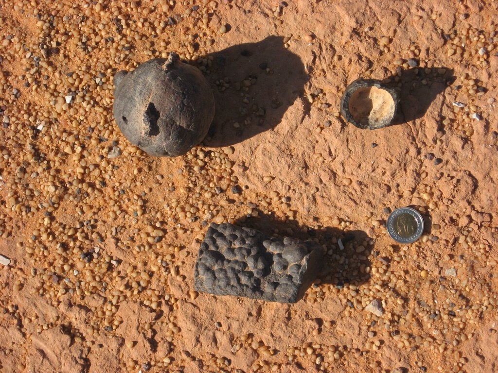
What is it used for?The glass had been used in the prehistoric times to make knives and sharp-edged tools as well as other objects. However, such tools we did not find in our expedition.
In October 1998, Vincenzo de Michele of the Centro Luigi Negro was allowed to analyse a carved scarab, until then thought to be made of not-so-precious chalcedone, in Tutanchamen's pectoral jewelry found in his tomb (Vivian, 2002).
 Tutankhamen’s pectoral jewel with a scarab of Silica Glass (Stoddert Gilbert et al., 1976)
The scarab turned out to be made of Silica Glass, far more precious than all other stones in Tut's pectoral jewel (Vivian, 2002). This indicated that the ancient Egyptians knew about the Great Sand Sea and its Silica Glass, and given the central position in the jewel, they probably knew how rare and precious it was (Vivian, 2002). This new finding is quite astonishing considering the fact that Tutankhamen is from the 18th dynasty and reigned from ± 1332-1322 BC and camels where only introduced by the Persian king Cambyses of the 27th dynasty who reigned between ±525-522 BC (Baines and Malek, 2002). And even with camels Cambyses is known to have lost an army of 50 000 soldiers in the Great Sea of Sand. To this date nobody has found a trace of this army. Crossing the Great Sand Sea is difficult and dangerous with 4x4s or camels, but impossible on foot. How did the ancient Egyptians collect the silica glass across several hundred kilometres of hostile sand dunes?
References
Abate, B. Koeberl, C., Underwood, J.R., Reimold, W.U., Buchanan, P., Fisk, E.P. and Giegengack, R.F. 1997a. BP and Oasis impact structures, Libya: Preliminary petrographic and geochemical studies, and relation to Libyan desert glass (abstract). Lunar and Planetary Science XXVIII, pp. 1-2.
Abate, B. Koeberl, C., Underwood, J.R., Fisk, E.P. and Giegegack, R.F. 1997b. BP and Oasis impact structures, Libya, and their relation to Libyan desert glass: Petrography, geochemistry, and geochronology (abstract). Large Meteorite Impacts and Planetary Evolution,.
Abate, B., Koeberl, C., Kruger, F.J., and Underwood, J.R. 1999. BP and Oasis impact structures, Libya, and their relation to Libyan Desert Glass. In: Proceedings, Conference on Large Meteorite Impacts and Planetary Evolution (Eds. Dressler, B.O., and Sharpton, V.L.), Geological Society of America, Special Paper 339, 177-192.
Abed, W.T., 1998. The nother Egypt- travels in no-man’s land. Cairo, 242p.
Baines, J. and Malek, J., 2002. Atlas of Ancient Egypt-Revised Edition. The American University in Cairo Press, Cairo, 240p.
Bigazzi, G. and de Michele, V., 1997. New fission-track ages of Libyan Desert Glass. In Proceedings, Silica ’96, Meeting on Libyan Desrt Glass and related events (Ed. V. de Michele), pp. 49-57. Sahara, Pyramids, Milano, Italy.
Horn, P., Mueller-Sohnius D., Schaaf, P., Kleinmann, B., and Storzer, D, 1997. Potassium-Argon and fission track dating of Libyan Desert Glass, and Strontium- and Neodymium isotope constraints on its source rocks. In Proceedings, Silica ’96, Meeting on Libyan Desrt Glass and related events (Ed. V. de Michele), pp. 59-73. Sahara, Pyramids, Milano, Italy.
Kelly, S., 2002. The hunt for Zerzura –The Lost Oasis and the Desert War. Published by John Murray, London, 302p.
Schaaf, P.and Mueller-Sohnius, D., 2002. Strontium and neodymium isotopic study of Libyan Desert Glass: Inherited Pan-African age signatures and new evidence for target material. Meteorites and Planetary Science 37, 565-576p.
Scott, C., 2004. Sahara Overland - A route and planning guide. Published by Trailblazer publications, Hindhead, 672p.
Stoddert Gilbert, K., Holt, J.K., and Hudson, S. (editors), 1976. Treasures of Tutankhamun. Published by the Metropolitan Museum of Art, New York, 175p.
Vivian, C., 2002. The Western Desert of Egypt. The american University in Cairo Press. Cairo, 426p.
Wright, G. 1999. The Riddle of the Sands. New Scientist.
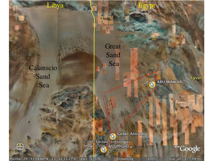 The great Sand Sea on Google Earth (the red lines show our route)
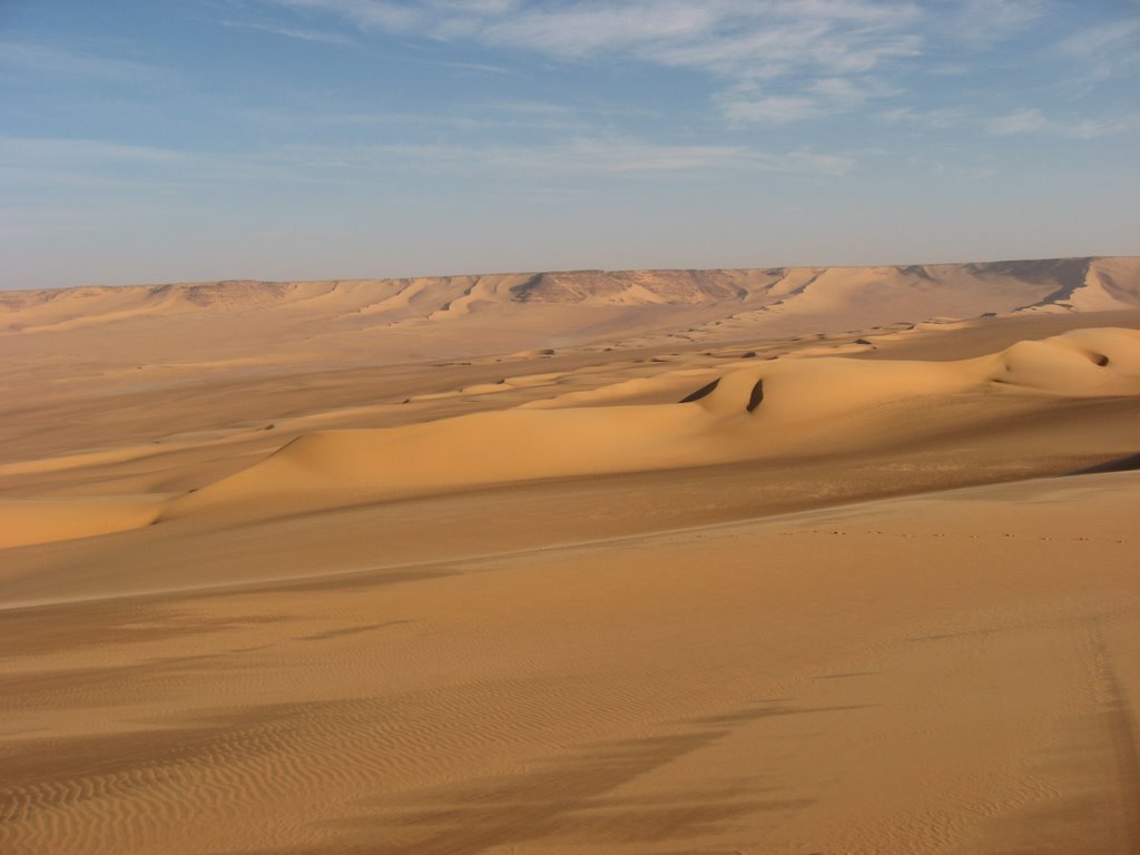 Dunes encroaching on the south side of Gebel Almasy
 Corine is just about to descent a slip face
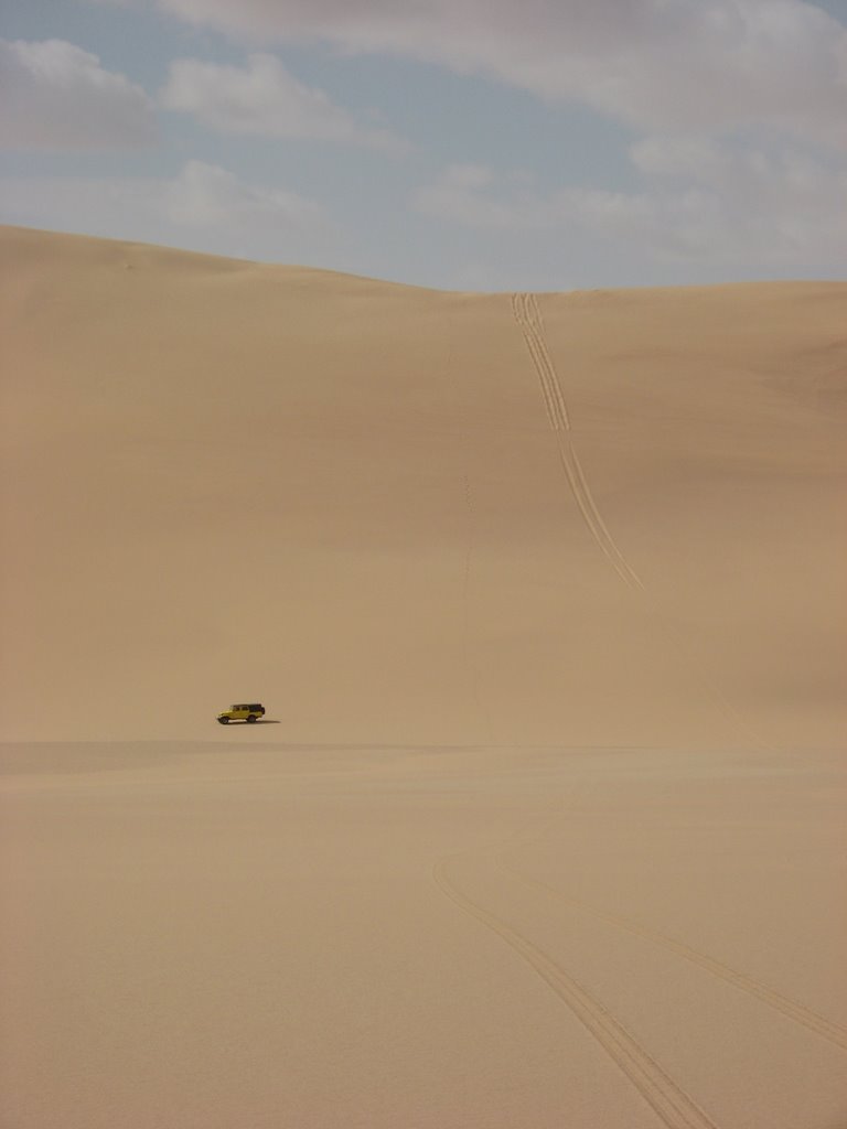 Mohamed just drove down a major slip face
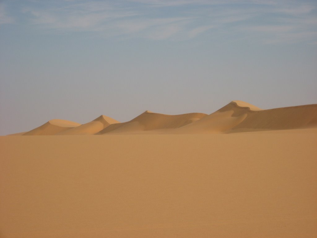 Seif dune
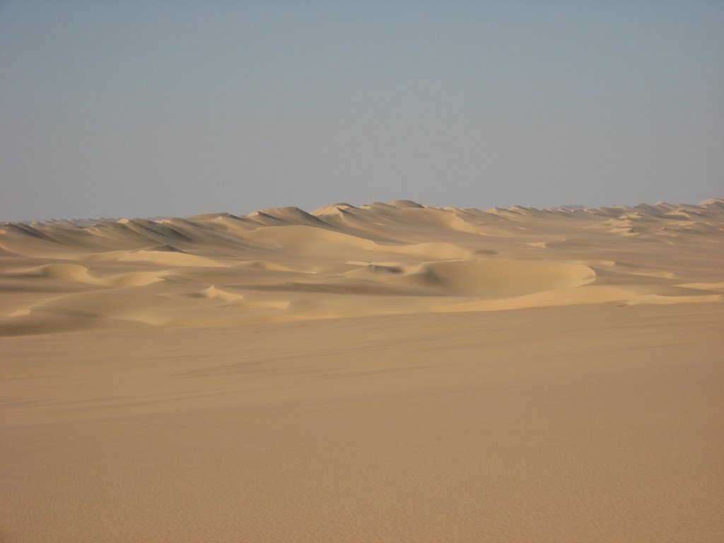 On the right hand side a big barchan dune has formed
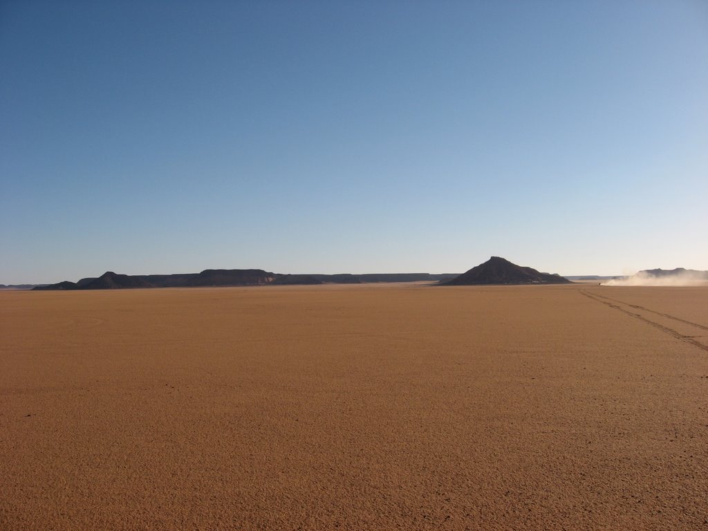 Driving over a sand sheet